GR 240
The Sendero Sulayr or The “Mountain of the Sun”
long distance path.
The Sendero Sulayr is
Spain’s longest circular long distance path. This 300 Km long path makes a
circuit of the Sierra Nevada Mountain Range and if completing the whole circuit
has an ascent of 9800m! Although being a circuit it doesn’t matter where you
start, its official start is from the National Park Information Centre at El
Dornajo on the road from Granada towards the Sierra Nevada ski resort. The path is mainly at heights of
between 1800m and 2200m though occasionally higher (up to 2460m) and lower.
The Sierra Nevada was
Spain’s first national park and is its largest. The highest mountain in mainland Spain, Mulhacen 3482m is
here as is Cerro del Caballo 3005m being Europe’s most westerly 3000m peak.
Given the right conditions it is perfectly possible to include these two mountains
in your Sulayr itinerary and is worth considering.

The regional
Government of Andalucia (The Junta de Andalucia) and the Sierra Nevada National
Park authority opened this path in 2007. Officially it has 19 stages, starting
and ending at El Dornajo though the stages seem to end in arbitary places in
the middle of nowhere! It is possible to combine some of the stages so as to
complete the circuit in 15 days, especially if you are supported and not having
to carry heavy packs. Because the route only passes through 2 villages,
carrying and / or obtaining food is a problem, so for most people, detours will
have to be made and the walk unsupported it is likely to take around 21 days
making it a huge undertaking.
Fortunately Sierra Nevada Guides operate a support service so with travel to and from the U.K. the route is possible in 17 days.
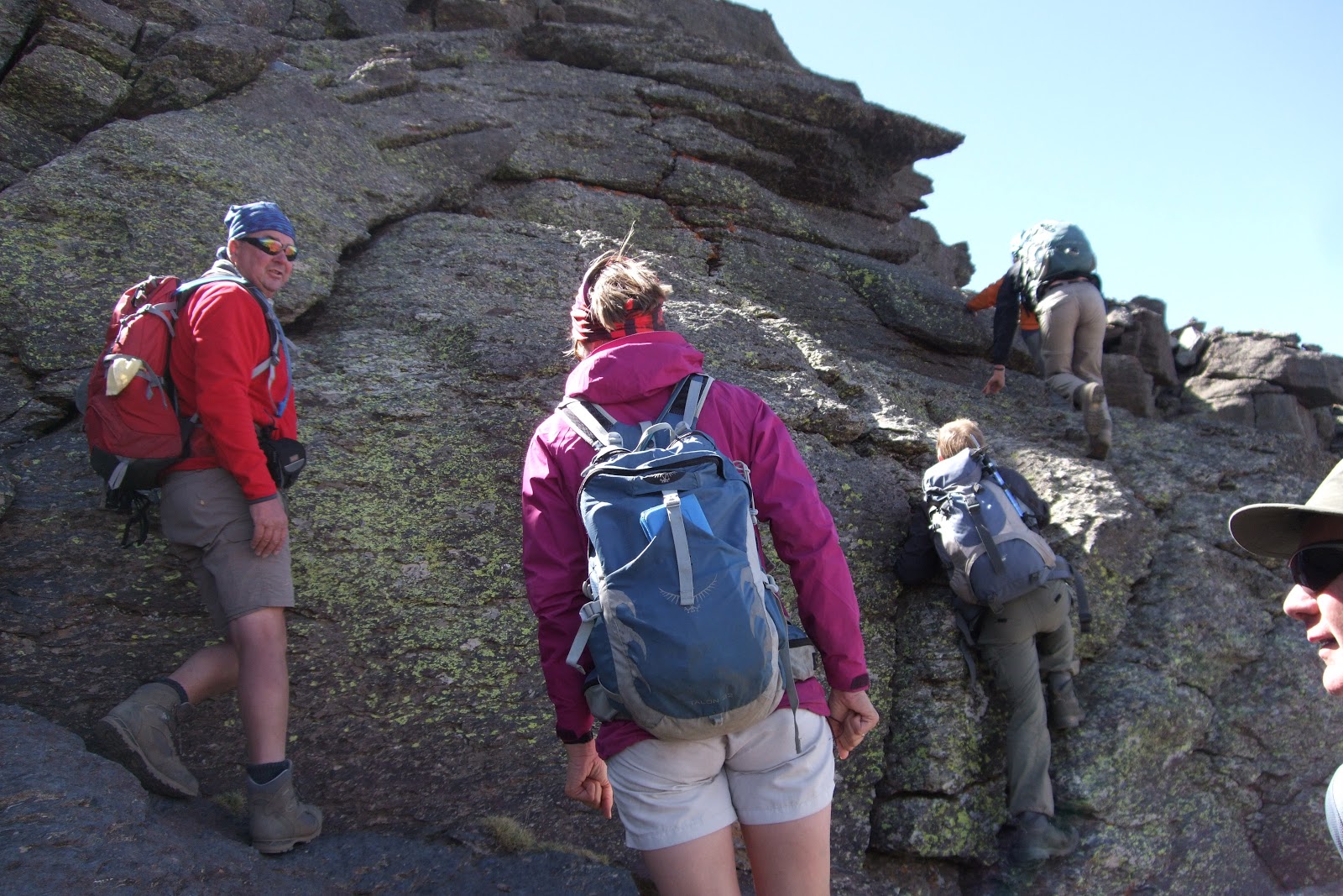
Guidebooks and Maps for The Sendero Sulayr –
GR40
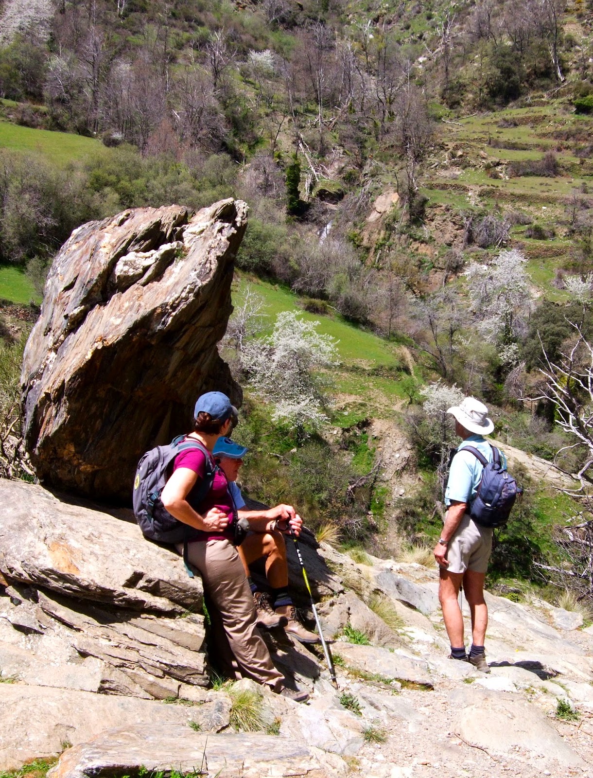
 |
| Trevenque, day2 |
Editorial Penibetica
have produced a guidebook to the route “Sendero Sulayr” in English, which is
available from Stanfords at £29.95.
This guide contains all the maps and information you require for
completing the route. It doesn’t
map enough to allow you to ascend either Caballo or Mulhacen. Caballo can be included as a variation
to day 3, though if wishing to include Mulhacen, you will need an additional
day. Think also about including a
rest day or two into your itinerary, especially if doing it unsupported. You can use rest days to get down to
villages for supplies of food. (remember most shops in Spain do not open on
Sundays and that there are lots of “local” bank holidays).
Distance Height
Gain Time
Stage 1 14.7
Km 850m 3hrs 50mins
Stage 2 19.4
Km 1042m 5hrs 30mins
Stage 3 14.5
Km 10m 4hrs 30mins
Stage 4 8.7
Km 330m 3
hours
Stage 5 10.5
Km 298m 4
hours
Stage 6 17.4
Km 916m 5
hrs 15mins
Stage 7 24.9
Km 974m 7
hours
Stage 8 16.5
Km 344m 5hrs 30mins
Stage 9 20.6
Km 325m 5hrs 45mins
Stage 10 15.2
Km 535m 5hrs 30mins
Stage 11 20.7
Km 932m 7hrs 30mins
Stage 12 16.9
Km 188m 5
hours
Stage 13 11.2
Km 716m 4
hours
Stage 14 19.2
Km 467m 5hrs 30mins
Stage 15 10.2
Km 141m 3hrs 30mins
Stage 16 21.4
Km 566m 7
hours
Stage 17 16
Km 664m 5hrs 15mins
Stage 18 14.5
Km 90m 5
hours
Stage 19 7.1
Km 438m 2hrs 30mins
When to do The Sendero Sulayr – GR40
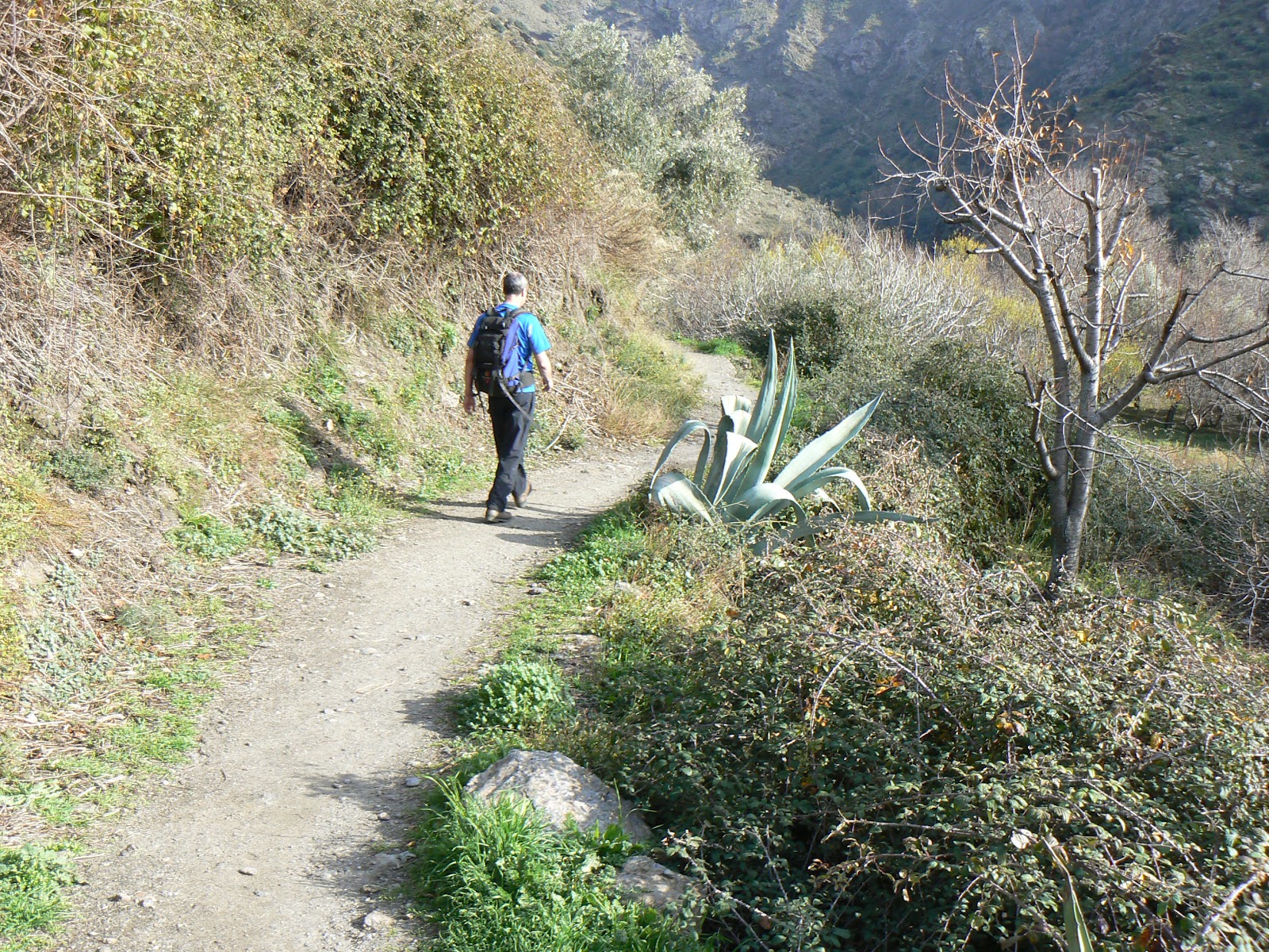
 |
| Picking Cherries near Trevelez |
Because parts of this
route are at an altitude where snow lies during the winter, then the only
months that are completely free of snow are likely to be May to October. That
said, it is perfectly possible to do the route some years in April and November
/ early December (it all depends on the amount of snow which has fallen over
the winter months). Forget August,
it is too hot!
Because you will need
to stay at the Postero Alto Refuge, which is open only at weekends or every day
from 1st July to 15th September, then July is the obvious
choice unless you can plan to arrive at a weekend! Otherwise you'll have to camp outside.
Accommodation on The Sendero Sulayr – GR40
The Sulayr is not a
walk with regular accommodation, mountain huts or campsites. To do the walk
unsupported you will have to be prepared to wild camp and “rough it” though a
tarp would be sufficient in most cases. Even with support, there are at least 2
nights where due to remoteness you would have to stay in Refuges, 1 staffed (at
weekends) the other just a stone shelter.
Careful planning is the key to this walk.