Walking in the Sierra Nevada
Spain’s Sierra Nevada
is a great destination for mountain walking on account of it’s settled (summer)
weather and non technical mountains that don’t require the use of alpine
techniques and climbing equipment.
All of the main peaks can be reached by competent mountain walkers. The
high peaks start to become accessible from the end of June when the snow melts
through until October. Even in the
height of the Spanish summer it is relatively cool above 2500m and you can
expect temps of 15 to 20 degrees on the summits if it is not too windy.
 |
| Trevenque |
Although there are
some 26 named peaks over 3000m, there is one especially nice peak, Trevenque
2079m that should not be missed off anyone’s itinerary. Trevenque is a shapely
mountain, sometimes referred to as the Matterhorn of the Sierra’s. Although it may be too hot to climb
from mid July until the end of August because of its lower altitude, never the
less it proves to be a good warm-up or acclimatisation for its higher
neighbours.
 |
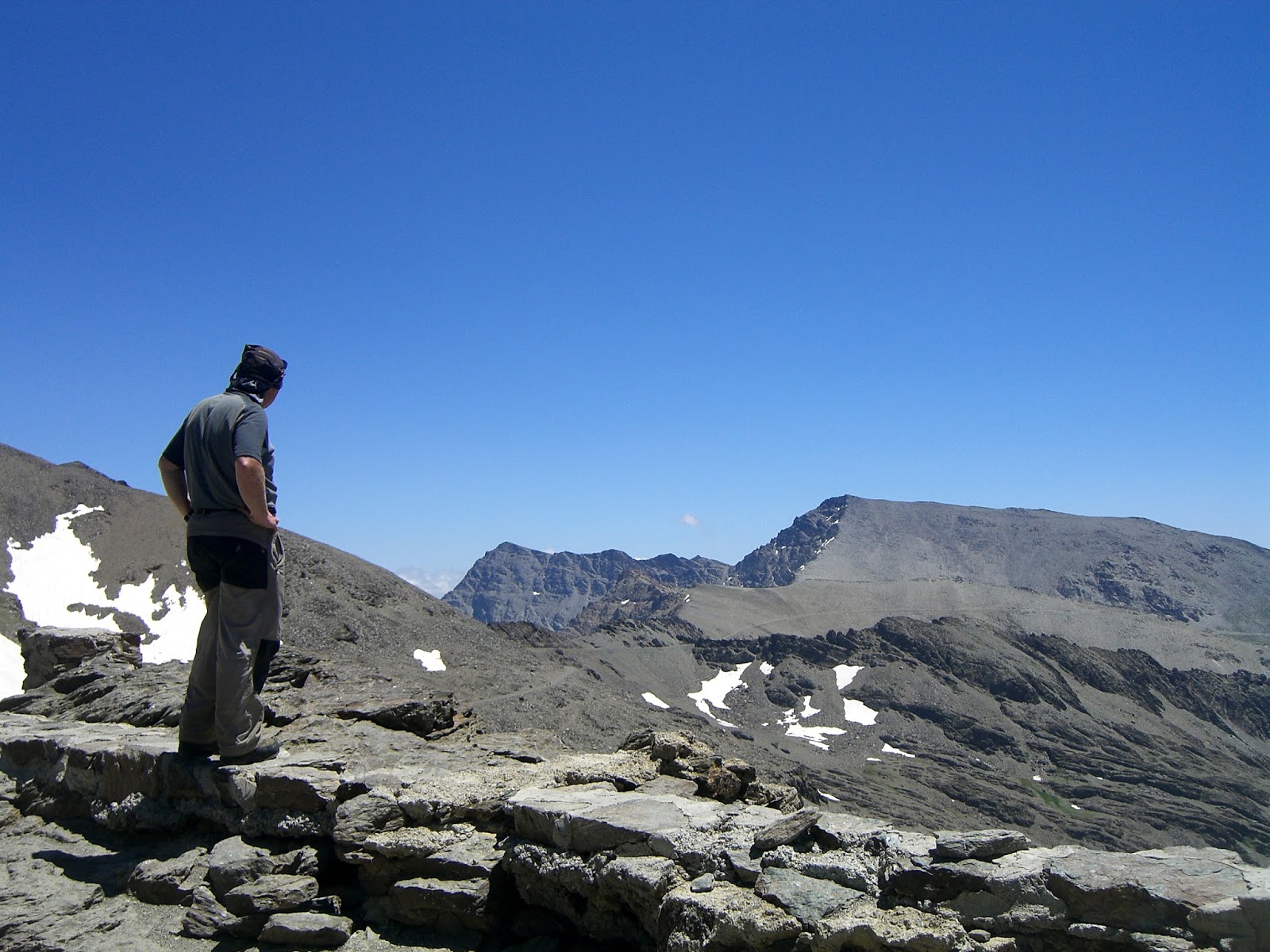
| Mulhacen Summit |
Most people visiting
the area want to tick off Mulhacen 3482m which is the highest mountain in
mainland Spain. In summer this is a fairly straight forward peak, especially if
catching one of the National Park busses from either Capileira to the south or
Hoya da la Mora to the west. Details of these busses can be found on the Sierra Nevada Guides website. Possibly the best circuit is to book
the bus from Capileira but drive up to and catch the bus as it passes “the
barrier” at Hoya del Portillo. The bus takes you to Mirador Trevelez 2680m from
where it is a 2 hour walk up Mulhacen’s south ridge to the summit. Descend the
west ridge to the Caldera Refuge
getting views of Mulhacen’s north face, then follow the valley down to the
Poqueira Refuge where you can buy a beer before setting off again to Hoya del
Portillo. Approx 7 hours from
getting off the bus at Mirador Trevelez.
 |
| Flowers at Siete Lagunas, Gentians and "Star of the Snows" |
The big 3 of the
Sierra Nevada are Mulhacen 3482m, Veleta 3394m and Alcazaba 3371m. Of these the
most difficult but most rewarding day is to ascend Alcazaba. The easiest way to
get to Alcazaba is to take the bus up from Capileira to Mirador Trevelez. Follow the path as for Mulhacen to
where a path heads off towards Siete Lagunas at approx 3000m (not obvious).
From Siete Lagunas it is possible to make a circuit on Alcazaba, ascending a
ridge towards Penon del Globo but traversing northwards at around 3150m towards
Meseta de las Borregas and onto a ridge that ascends Alcazaba from the south
east. Descent to the top of the Siete Lagunas by an improbable path through
cliffs and screes and wander down past all 7 lagoons, especially nice with the
abundant alpine flowers. From Laguna Hondera follow the same route back to
Miradoor Trevelez. 7.5 hours. It
is possible to ascend to Siete Laguna’s from the village of Trevelz 1475m but
this is a very long day.
 |
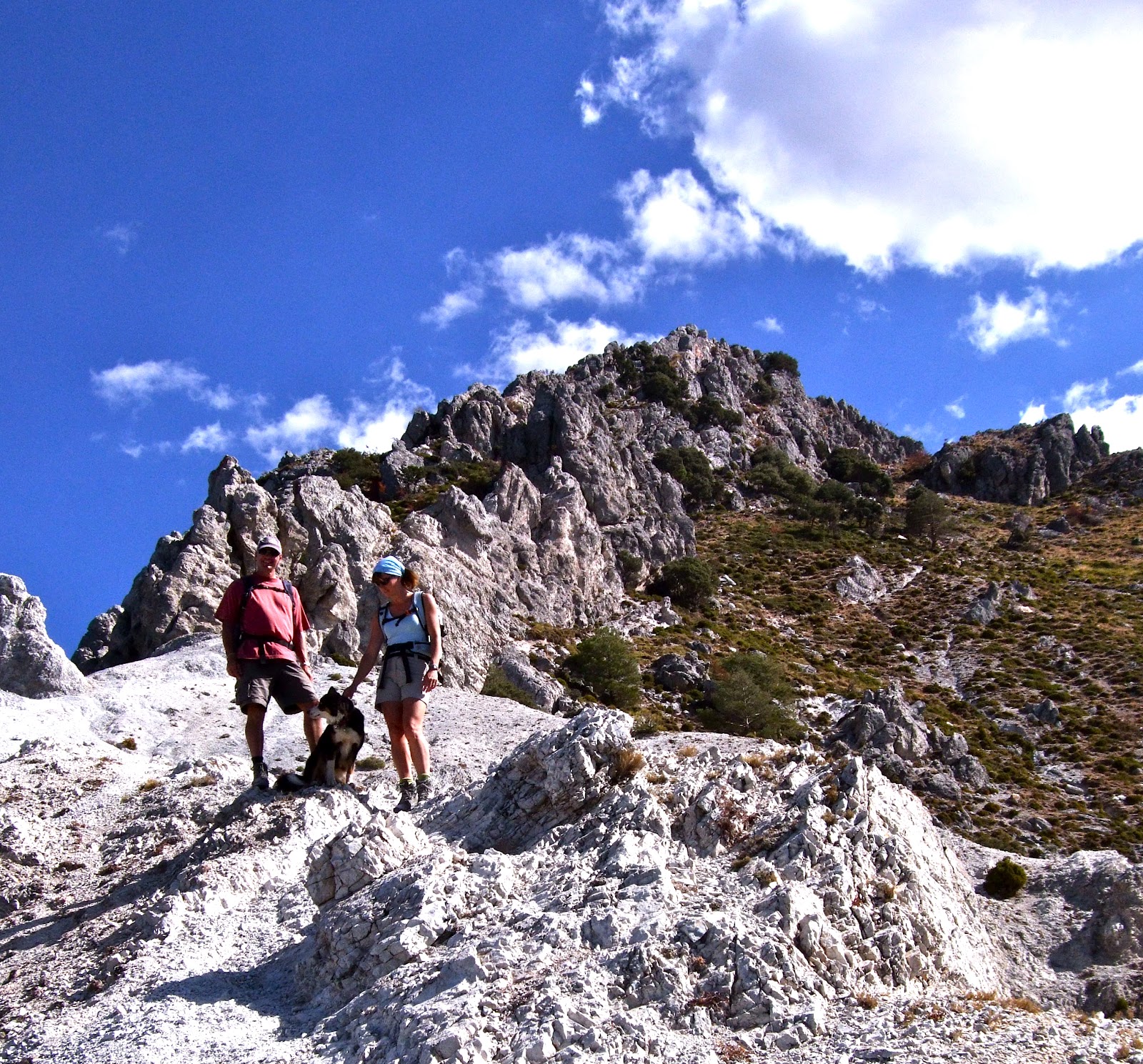
| Ascending the ridge to Cerro del Caballo |
A personal favourite of
ours is the Cerro del
Caballo 3005m. This is Europe’s most westerly 3000m peak.
Although there are several ways of ascending Caballo, our favourite circuit is
from the Ventura road head about an hours drive up a rough dirt track from
Lanjaron or Lecrin. From the parking spot at the end of the road take the
obvious path the leads up to the old ruined Ventura Refuge (20 minutes).
Continue up the path for a short distance, it now heads up steeply to cross and
acequia channel and continues in gentle ascent crossing 2 streams to the start
of a pine forest. Follow the fire break upwards at the side of the forest to
its high point and take a diagonal line up to the ridge above you. The ridge is
followed more or less to the summit of Caballo. From the summit you can peer
down to the north east and see the Caballo Refuge beside a laguna. In descent
head north west to a col above the refuge and follow scree (some times snow in
early summer) and descend to the refuge. From the Refuge a faint path heads
down hill, north east past a lagoon. We normally take a line north eastwards
down to the Rio Lanjaron by a prominent waterfall before picking up a path that
heads south west along the rio for approx 3 Kms to a dam. Leave the Rio to the
right (west side of the dam) ascending for 50m before descending to pick up the
acequia which is followed back towards Ventura. 7 hrs.
 |
| Caballo from the Upper Rio Lanjaron |
Like all mountain
areas, the Sierra Nevada can be serious and has claimed several lives in recent
years (four of them British). The above descriptions are intended as an outline
and you will need to be competent, especially at navigation to undertake
them. In summer, the most likely
hazard you’ll face is intense sun, dehydration and a little breathlessness due
to the altitude. However there
have been several occasions in summer when we have retreated due to high winds.
Keep an eye on the weather too. It
is not unknown for afternoon storms to build up around the higher peaks.
There is plenty of
information about the area (maps, weather, places to stay, etc.) on the Sierra Nevada Guides website and we are always happy
to advise you on routes and conditions.


 In a recent article in Granadas Ideal newspaper I read of a project based in the Rio Dilar area of the Sierra that was investigating the life cycle of Cabra de Montana, the wild mountain goats often seen across the whole region.
Many of you who walk regularly in the area will have seen these ‘’mountain goats’’, normally running away into the distance. For those who haven’t these truly wild animals are about the size of a fallow deer, they are a tan colour with darker shoulders and haunches with the larger older animals having a pair large sweeping horns. Well suited to the mountain terrain where they are generally found they have short muscular legs and large soft hooves which are perfect for gripping steep rock faces. Generally browsers they live in areas of mixed scrub and broken ground in the lower mountains but I have seen them at 3,000m near the Caldera refuge on Mulhacen, on the edge of Lanjaron and also on the coast near Cerro Gordo. Often the only sign you have that they are in the area are large amounts of droppings on summits though you will often hear a sharp high pitched call as outlying individuals warn a larger group that you are approaching.
The groups you see will either be made up of females with their young or males. The two groups do not generally mix apart from the breeding season in autumn. This is also the time when males fight for dominance of a herd with head butting contests.
My first sighting of ‘’cabra’’ was about 10 years ago whilst descending the south ridge of Mulhacen. Needless to say seeing one of these animals for the first time was quite a shock particularly as it was quite a large male with a fantastic pair of horns. I have become accustomed to looking out for them but even so it’s often not until they move that I spot them as they are well camouflaged and blend into the backgrounds remarkably well.
Whilst often called mountain goats these animals are actually a type of Ibex, Capra pyrenacia . At one time there were a total of four subspecies. One, a Portugese subspecies, died out in 1892. Shockingly the other, Capra pyrenaica pyrenaica, became extinct on the 6th January 2000. A remarkably specific date. However this was when the last known specimen of a subspecies peculiar to the Pyrenees died. A frightening example of how easily we can loose unique animals. The two remaining subspecies however seem to be doing well and at the moment at least appear to be growing in numbers with an estimated population across the Iberian Peninsula of about 50,000.
In a recent article in Granadas Ideal newspaper I read of a project based in the Rio Dilar area of the Sierra that was investigating the life cycle of Cabra de Montana, the wild mountain goats often seen across the whole region.
Many of you who walk regularly in the area will have seen these ‘’mountain goats’’, normally running away into the distance. For those who haven’t these truly wild animals are about the size of a fallow deer, they are a tan colour with darker shoulders and haunches with the larger older animals having a pair large sweeping horns. Well suited to the mountain terrain where they are generally found they have short muscular legs and large soft hooves which are perfect for gripping steep rock faces. Generally browsers they live in areas of mixed scrub and broken ground in the lower mountains but I have seen them at 3,000m near the Caldera refuge on Mulhacen, on the edge of Lanjaron and also on the coast near Cerro Gordo. Often the only sign you have that they are in the area are large amounts of droppings on summits though you will often hear a sharp high pitched call as outlying individuals warn a larger group that you are approaching.
The groups you see will either be made up of females with their young or males. The two groups do not generally mix apart from the breeding season in autumn. This is also the time when males fight for dominance of a herd with head butting contests.
My first sighting of ‘’cabra’’ was about 10 years ago whilst descending the south ridge of Mulhacen. Needless to say seeing one of these animals for the first time was quite a shock particularly as it was quite a large male with a fantastic pair of horns. I have become accustomed to looking out for them but even so it’s often not until they move that I spot them as they are well camouflaged and blend into the backgrounds remarkably well.
Whilst often called mountain goats these animals are actually a type of Ibex, Capra pyrenacia . At one time there were a total of four subspecies. One, a Portugese subspecies, died out in 1892. Shockingly the other, Capra pyrenaica pyrenaica, became extinct on the 6th January 2000. A remarkably specific date. However this was when the last known specimen of a subspecies peculiar to the Pyrenees died. A frightening example of how easily we can loose unique animals. The two remaining subspecies however seem to be doing well and at the moment at least appear to be growing in numbers with an estimated population across the Iberian Peninsula of about 50,000.


