News from Sierra Nevada Guides

Latest news from the Sierra Nevada Mountains of Southern Spain
Showing posts with label Climb Mulhacen. Show all posts

Friday, 22 August 2014

The Three Peaks


The Three Peaks

A lot is made in the U.K. of the “3 Peaks” though this means different things to different people.  There is the Yorkshire 3 Peaks challenge whereby you have to complete a round of Ingleborough, Great Whernside and Pen-y-Gent in under 12 hours and the National 3 Peaks Challenge which is an ascent of Snowdon, Scafell Pike and Ben Nevis, usually in under 24 hours.

Mulhacen's West Ridge seen from The Caldera Refuge
However here in the Sierra Nevada we have our own 3 Peaks Challenge, an ascent of Mulhacen 3482m, Veleta 3394 and Alcazaba 3371m. Some seriously high mountains compared to their U.K. counterparts.

Summit of Mulhacen 3482m
Mulhacen3482m the highest mountain in mainland Spain is named after Mully Hassan the penultimate Arab ruler of this part of Spain.

Veleta 3394m is the 2nd highest mountain in the Sierra Nevada and 3rd highest in  mainland Spain (after Aneto 3404m in the Pyrenees). Veleta translates from the old Arabic as The Weather Vane and is clearly seen from The Alhambra Palace in Granada where the Arab Kings resided.

Alcazaba 3371m is the 3rd highest in the Sierra and joint 4th / 5th in height in mainland Spain (Equal with Pico Posets also 3371m). Alcazaba translates as The fortress, aptly named as its most commonly viewed from the North revealing its awesome North Face.
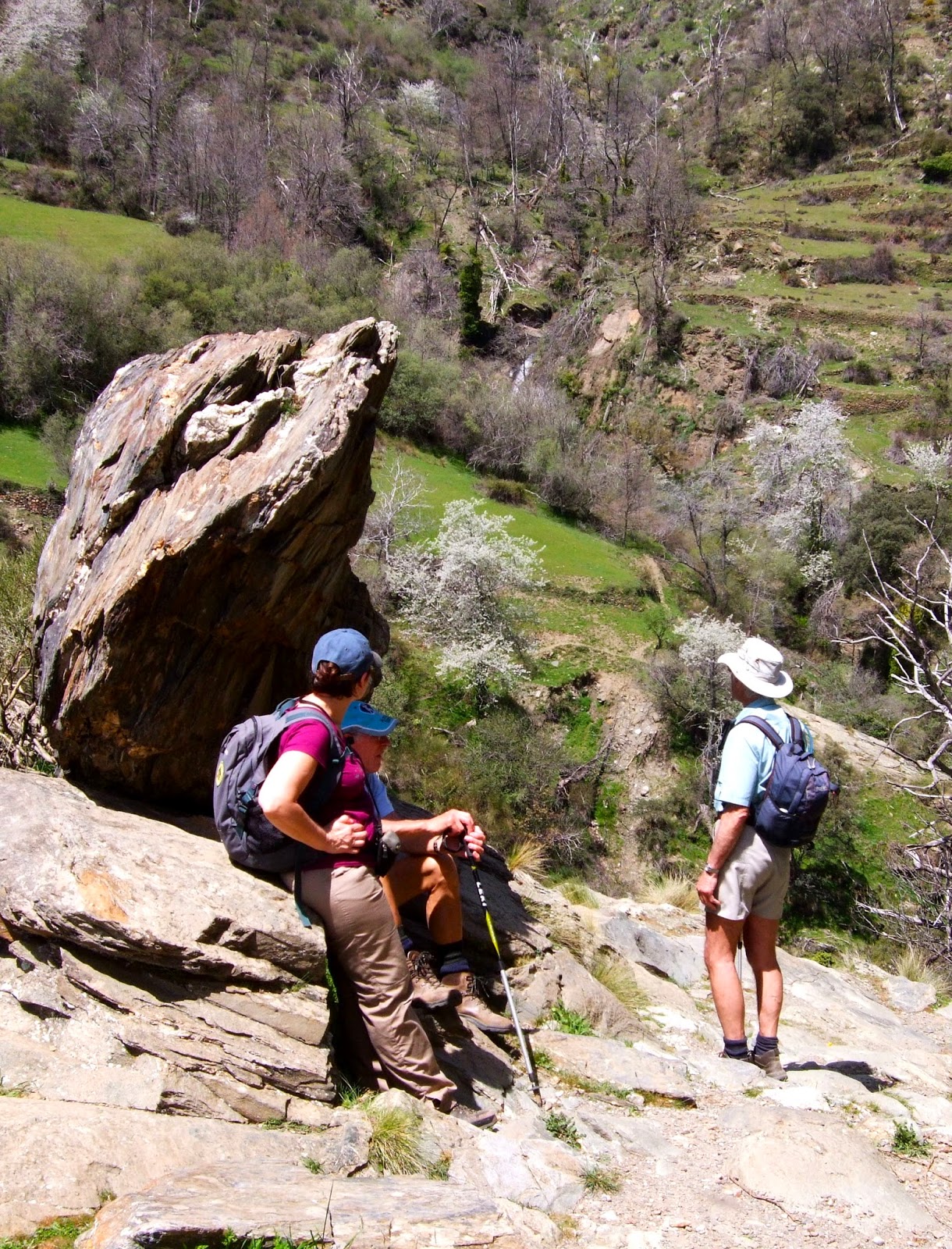
Although it is possible to complete all 3 peaks in a day as a challenge, this would really spoil the enjoyment of a truly great mountain walking experience. We would highly recommend allowing for 3 days in the mountains spending 2 nights at the Refugio Poqueira as the best option for 
completing the Sierra Nevada 3 Peaks.

Near the Summit of Veleta 3394m
Day 1, Alcazaba and to the Refugio Poqueira.

Day 2 Veleta from the Refugio Poqueira.

Day 3 A circuit on Mulhacen returning to the valley.

Sierra Nevada Guides would be happy to facilitate your 3 peaks expedition or include it as part of a weeks walking taking in some of the other great mountains the Sierra Nevada has to offer.


Sierra Nevada Guides are the only qualified British Guides (International Mountain Leaders) living and working in the Sierra Nevada. Details about the guides and their qualifications are listed on the Sierra Nevada Guides website.

Alcazaba 3371m - A very impressive mountain!
If you are planning a visit to the Sierra Nevada, there is much useful information on the Sierra Nevada Guides website and we are always happy to advise on routes and conditions.


Sunday, 22 June 2014

Climb Mulhacen!


Climb Mulhacen!

Looking at Mulhacen's North Face from the West Flank
Having made many ascents of Mulhacen over the past years, I can honestly say that I never grow tired of it.  Different seasons bring a range of  weather and alter conditions underfoot; different routes bring variations in gradients and technical difficulties; but most of all the enjoyment comes from the range of people that I guide and meet during the course of an ascent.

There are many different ways to climb Mulhacen and variations on each of them. These are described in our Guide to Climbing Mulhacen  which also describes the technical difficulties and the level of “mountain competence” required.

Basically (in summer) you can either climb Mulhacen as a day trip or as a 2 day trip by spending a night at The Refugio Poqueira. Our 3 favourite routes up Mulhacen are:

Day Trips

Stunning flowers on the way up!
1.     If you have a car available, book yourself onto the National Park Bus that leaves Capileira at 8.30am. On the morning of your ascent, turn up early and make sure that the National Park staff and bus driver know that you will drive up to the “barrier” at Hoya del Portillo where you leave your car and get on the bus.

The bus takes you to Alto del Chorrillo at 2700m. From here it is an easy 2 hour climb to the summit of Mulhacen by the South Ridge. From the summit make your way down the West Flank to the Caldera Refuge (taking a look over the impressive North Faces of Mulhacen and Alcazaba) then down the Rio Mulhacen to the Refugio Poqueira (drinks and toilets).

Iberian Ibex "Cabra" by the Caldera Refuge
From the Refugio Poqueira take the road, initially up hill to join the gentally descending path that leads back to Hoya del Portillo.


2.     From Hoya del Portillo 2100m, walk up through the forest to the viewpoint at Puerto Molino. Take the path that ascends up above the road and follow a broad ridge before joining a road that takes you to Alto del Chorrillo 2700m. Here the path leads up Mulhacen’s South Ridge. Allow 5 hours for the ascent.

To make a bit of a circuit, descend by the West Flank to the old road which can be followed back to Puerto Molino (or pick up the route along the ridge that you ascended above Puerto Molino). Allow 9 hours for the round trip.

2 Day trip

Flamenco on the summit!
3.     Day 1. Starting from Capileira, ascend to the Refugio Poqueira via La Cebadilla and Cortijo Las Tomas. Allow around 5 hours for the ascent. This is a beautiful way into the mountains, especially in June when the flowers are magnificent.

Day 2. Ascend the rio Mulhacen. After around half an hour cross the river to the west side and ascend past lagoons to the Caldera Refuge. From the Caldera take the path that ascends taking you to “glimpse” over the North Faces of Alcazaba and Mulhacen. Rejoin the cairned path to the summit. (3 to 4 hours).

Descend down the south ridge to near Alto del Chorrillo and follow the road for a short distance, take the “short cut” via a huge obvious cairn that cuts out a loop in the road which is re-joined to the Refugio Poqueira.

Mulhacen II (the lower summit) from Puerto Molina
Re-trace your route back to Capileira.


Although we are describing these routes, the level of difficulty varies according to conditions underfoot (e.g. snow), your level of fitness and especially the weather.  It is perfectly possible for the mountains to be shrouded in mist, even during the summer which makes navigation difficult.  High winds can also be a problem in summer.

There is lots of useful information to help you plan your trip to The Sierra Nevada on the Sierra Nevada Guides Website.

Sierra Nevada Guides are always happy to advise on conditions but if you are in any doubt, please hire a guide!


Thursday, 20 March 2014

Guided Walks in the Alpujarra and Sierra Nevada

Sierra Nevada Guides are pleased to announce their programmes of guided walks for the coming spring and summer seasons. Details are on the Sierra Nevada Guides website.

Walking in The Taha Gorge


The Spring programme of walks in the Alpujarra also includes an ascent of Trevenque 2079m which though not being in the Alpujarra is a fine "low altitude" peak sometimes described as the "Matterhorn" of the Sierra Nevada. The walk through the Taha being one of the best hill walking days you'll find anywhere...........

Walkers in the Alpujarra
Mondays - Hills and Terraces and Acequia's above Lanjaron, walking with a local landowner / guide who will explain the local landscape, farming and wildlife. 5 to 6 hours, a little strenuous.

Tuesdays - A circuit in the Taha walking a medieval path through old "arab" villages through terraces and a spectacular gorge crossing a Roman bridge. Not to mention the water fountain with naturally carbonated water! 5 to 6 hours walking, strenuous.

Wednesdays - An ascent of Trevenque 2079m, the Matterhorn of the Sierra Nevada. 5 hours walking, with one steep strenuous ascent / descent.

Thursdays - A circuit in the Rio Poqueira and the pretty white villages of Capileira, Pampaneira and Bubion.
5 to 6 hours of walking a little strenuous.


Fridays - Glimpses of Mulhacen!
A walk in the forrests above Capileira to Hoya del Portillo and Puerto Molina 2380m. 5 to 6 hours walking a little strenuous.

All of the guided walks are priced at 40 Euro's per person and are led by qualified British, International Mountain Leaders.


The Summer programme - of walks in the Sierra Nevada is aimed at tackling the higher peaks which will be a cool relief to the heat of summer.  These include ascents of Mulhacen 3482m the highest mountain in mainland Spain, Veleta 3396m,  Alcazaba 3364m and Caballo 3011, Europes most westerly 3000m peak.


Walkers at The Caldera Refuge, Sierra Nevada

The upper Rio Lanjaron near Caballo
Mondays - Mulhacen 3482m, the highest mountain in mainland Spain. Starting in Capileira and catching the National Park bus to 2700m, we ascend Mulhacen's south ridge to the summit. Our descent is down the west flank with glimpses of the impressive north faces of both Mulhacen and Alcazaba before reaching the Caldera Refuge, Rio Mulhacen and Poqueira Refuge. 8 hours of walking, 1100m of ascent, fairly strenuous.

Tuesdays - Veleta 3396m, the 2nd highest mountain in the Sierra Nevada. Starting from Hoya de la Mora at 2500m.  After the summit we visit the Carihuela Refuge and the Lagunas de la Virgin. 7 hours. A day mainly on good paths that is not too strenuous.

Wednesday - Alcazaba 3364m, the 3rd highest mountain in the Sierra Nevada and most remote of the big three. Starting in Capileira and catching the National Park bus to 2700m, we ascend Mulhacen's south ridge before traversing around to Siete Lagunas. We then make a circuit on Alcazaba descending through Siete Lagunas with its wonderful flowers before traversing back around Mulhacen to the start.  7 to 8 hours of walking with 900m of ascent, some steep and off path.  This is a strenuous day.

Thursdays - Caballo 3011m, Europe's most westerly 3000m peak. Not to be missed or underestimated. A route taking in not only the summit of this fine peak but our descent takes us to the Caballo Refuge and into the upper Rio Lanjaron. 8 hours of walking, 1100m of ascent, a strenuous day out.

Fridays - Mulhacen 3482m, a repeat on Monday's itinerary.

Like the Spring itinerary, all of the guided walks are priced at 40 Euro's per person and are led by qualified British, International Mountain Leaders.

Further details and how to book these walks are on the Sierra Nevada Guides website:
Spring Programme of walks in the Alpujarra

Summer programme of walks in the Sierra Nevada


Monday, 15 July 2013

Magnificent Mulhacen!


Magnificent Mulhacen!

It’s normal for us at Sierra Nevada Guides to be guiding people up Mulhacen which at 3482m is the highest mountain in The Sierra Nevada and the whole of mainland Spain. However yesterday, having a day off we decided to climb Mulhacen ourselves for the sheer enjoyment of it. Legend has it that Mully Hasan the deposed and penultimate Arab King of Al Andalus is buried on the mountain.


Mulhacen's West Ridge from The Caldera Refuge

Most people tackling Mulhacen take the National Park bus from Capileira up to Alto del Chorrillo at 2700m and ascend and descend Mulhacen’s South Ridge. It’s fine to use the bus and the South Ridge as part of the excursion but to only do a “there and back from the bus” is a short day and will leave you thinking it’s not been a proper day out!


Setting out early in summer is the best tactic. This allows you to get the climbing done before the heat of the day starts to sap your energy. We started from Hoya del Portillo 2160m at 7.30am. It was cold, 10 degrees C and for the first 20 minutes we were in the forest so no sun. Still the motto is: start cold and warm up walking up hill! By the time we had reached the view point of Puerto Molino 2380m (30 minutes) we were warm! Our route continued along the ridge of Prado Llano 2577m to 2622m before joining the old road along to Alto del Chorrillo arriving there for a breakfast break at 9.15am.


The local sandwort growing near Mulhacen's summit
The actual ascent of Mulhacen along the south ridge is pleasant, and in summer a well defined path with cairns marking the way through the screes just below the subsidiary summit of Mulhacen II at 3361m. Even though we stopped to take photo’s of plants and beetles, we reached the summit at 11.20am a total time of 3 hours and 50 minutes. A distance of 11.4Km with a total height gained of 1412m. An hour and 20 minutes ahead of Naismith (The rule for calculating the time to walk up mountains – allow 4Km per hour and add a minute for every 10m of ascent).


Iberian Ibex near Mulhacen's Summit


We were ahead of the crowd from the bus so the summit was fairly quiet. There was a small group of “Cabra” the Iberian Ibex mooching around not particularly afraid of us, the usual Alpine Accentor and a large squadron of Swifts giving a good display of aerobatics.


After a short break on the summit, it was time to head downwards before the crowds from the bus arrived. There is a zig zag path down the screes of Mulhacen’s West flank which we took heading to the Collado de la Mosca which gives great views of both Mulhacen’s and Alcazaba’s 3371m North Faces. A further 10 minutes and you are down to the Caldera Hut, an unmanned “bivouac” hut with bunks, tables and chairs. From here there is an impressive view back up to Mulhacen’s summit. A spot of lunch was called for at The Caldera!

Mulhacen's Summit - 3482m

With clients if we had caught the bus we would continue down to the Poqueira Refuge 2500m to make a circuit back to Hoya del Portillo. However as we had not walked the old road back to Alto del Chorrillo for a few years we though we’d re-acquaint ourselves with this option. It proved as boring as we remembered it though a useful way out if the weather turns nasty. From Alto del Chorrillo we then returned the way we had ascended finally arriving back to Hoya del Portillo at 3.30pm.

All that remained was to drive back to a bar in Capileira for the customary drink and plan for the next outing!


We are always happy to respond to emails answering questions about the area.

Sunday, 26 February 2012

Climb Mulhacen

Mulhacen 3482m
Mulhacen with Alcazaba (to the left)
Climbing Mulhacen which at 3482m is the highest point in mainland Spain. This puts it high on the tick list of many visitors to the area and mountaineers from across Europe.  Although a fairly straightforward walk for competent mountaineers in summer, it is a different proposition in winter requiring a high degree of winter skills. 

There is a guide to climbing Mulhacen on The Sierra Nevada Guides website.


Mulhacen Summit
In the summer months the Sierra Nevada National Park operate a bus from the village of Capileira up to Mirador Trevelez 2700m from where it is possible to ascend Mulhacen's South Ridge. It is fair to say that probably most people use the bus though it is perfectly possible to make a good circuit there and back in a day from the "road head" at Hoya del Portillo above Capileira. 


Mulhacen's West Ridge from The Caldera Refuge
A good circuit is to ascend Mulhacen's South Ridge and descend its West Ridge to the Caldera Refuge. It is possible to return along the old road back to Mirador Trevelez, but if you have enough time descend the Rio Mulhacen and visit the Poqueira Refuge where drinks and snacks can be bought.  It is possible to complete a circuit back to Mirador Trevelez from here or back to Hoya del Portillo depending on your starting point.


The Poqueira Refuge
Another popular way is by spending a night at the Poqueira Refuge. An easy day to the refuge either along the acequia to Las Tomas then a steep pull up or more easily from Hoya del Portillo. Day two from the hut, follow the Rio Mulhacen to the Caldera Refuge then ascend Mulhacen's short but steep West Ridge, stopping to admire the views out across the North Face. Descent is down the easy angled South Ridge to Mirador Trevelez before taking the ridge (or dirt track road) back to Hoya del Portillo via the viewpoint at Puerto Molino.


Alpine Accentor at Mulhacen Summit
For those interested in wildlife, there is normally much to see, especially in summer.  We have been amazed at the butterflies around Mulhacen summit on many occasions. Alpine Swifts, Alpine Accentors, Choughs, Eagles and Vultures are common sights. It would be rare not to see one of the many "cabra de monte" which are Iberian Ibex.  They have become quite tame at the popular lunch spots and are frequent scroungers!


The flowers of the Sierra Nevada can be quite spectacular too. 
Estrella de las Nieves (star of the Snows) with Gentians
Early summer is the best time to see flowers as the winter snows retreat. Walking up Mulhacen from Hoya del Portillo takes you from below the tree line, through sub alpine and into alpine climatic areas.  Each has its own plant varieties, many of them endemic to the Sierra Nevada.
The wet areas known as "borreguiles" can be quite spectacular so if you are planning to make your ascent during the early summer (July), do consider taking in the Rio Mulhacen.

Information about the various routes up Mulhacen, maps, National Park bus, etc can all be found on the Sierra Nevada Guides website.


"Cabra de Monte" - The Iberian Ibex near the summit of Mulhacen

Mulhacen like any big mountain can be quite dangerous in poor weather and especially in winter conditions. Most days in the summer months it is usually a straightforward climb for experienced mountain walkers with the skills to navigate and look after themselves in the mountains. High winds are frequent and afternoon storms are a possibility even in summer.

Sierra Nevada Mountain Guides are always happy to advise visitors to the area or provide you with a qualified guide.