News from Sierra Nevada Guides

Latest news from the Sierra Nevada Mountains of Southern Spain

Wednesday, 30 July 2014

Galayos de Dilar

The ridge line that runs along the south side of the Rio Dilar has been on my tick list for many years. I’ve often viewed it during ascents of Travenque when the ridge line takes on a rugged and mountainous appearance, hence the nick name of the ‘’Cullin of the Sierra Nevada’’. We used 4X4 to access tracks on the south side of the ridge and then ascended an open gully before heading up a narrow sandy ridge onto the main ridge itself . We reached the ridge just east of the rocky summit of Carazon de Sandia where there is a fantastic view north through a cleft in the ridge line toward Travenque. The path along the ridge itself runs some way below the crest and whilst it was sometimes a bit vague on the ground provided an easy enough line traversing the eastwards below El Castillejo to reach easier ground at Collado del Pino. To the south the short rocky ridge line of Los Gallos looked inviting and was added to the long list of routes to be done at some point in the future. From the collado it was an easy enough though hot return along sandy tracks to the car.

Sunday, 27 July 2014

Laguna de Carnero

The Sierra Nevada in summer is arid and dry it’s a special event then when a new there is chance to walk to a laguna or tarn. Laguna de Carnero lies just below the 2,700m contour north of Pico de Cartujo and is not easy to find even when following a GPS route and studying what maps are available. The path we followed breaks off the west ridge of Cero de Caballo about 45 minutes and 450m of ascent after leaving the Mirador at Rincon de Niguelas. A cairn marks a feint path traversing the hillside for some way before finally petering out on the slopes of Cuerda de la Dehesa. From here we followed our noses contouring into an open bowl on the mountainside. The laguna was not obvious, though what was was a couple of large dogs which seemed to have been left to look after the cattle grazing on the lush grass of the area. After a few false starts climbing up to what appeared to be obvious sites for the laguna we finally decided to do the obvious and follow the stream which lead us directly to a small area of water perched below an open boulder field. The return route followed an acequia running from the stream across toward Fuenta Fria. The walk by the acequias is an easy enough route luckily cooled somewhat by the water running along side. A final descent by a waterfall leads to broad track leading back toward the car. A final 250m ascent in the afternoon heat got us back to the car at the mirador. A great walk across much underused mountain side and well worth the trip.

Sunday, 20 July 2014

Tajos de la Virgen ridge, Sierra Nevada.

In order to avoid the summer heat in July we decided to take advantage of the cable car that runs from the Sierra Nevada ski village up to about 2,800m on the slopes of Veleta. During the summer months this is a great way to get up into the cooler air of the mountains without to much effort , though it does dent the wallet a bit. What’s new this year is that the gondola and chair lifts are now very popular with mountain bikers who can get a day pass which allows them to take advantage of a new network of down hill mountain bike routes created on the slopes of the mountain. We headed from the top of the chair lift and crossed steep scree toward the Carahuela refuge perched at 3,000m to the south of the Veleta summit. The refuge sits in a col with magnificent views east to Mulhacen and Alcazaba and marks the point where the old road from Granada to Capileira crosses into the high mountains. We headed south from the refuge onto the Tajos de La Virgen ridge. This is perhaps one of the best ridge walk in the area and at the north end even includes a short ‘scramble’ up on to its crest. Whilst easy enough this section is quite exposed and needs a steady head. Once on the ridge it is slightly easier walking until you reach a rock needle known at la Fraile (the friar). Heading south from this pinnacle the route crosses an area of large blocks which whilst solid enough are perhaps the trickiest section of the route. The ridge eventually reaches the Eliorreta refuge built into the ridge itself and once used isolating TB patients. On the slopes below the refuge is an obvious square area cleared of some of the larger rocks. As there where two park rangers at the refuge I was finally able to confirm with them that the area was cleared to create a helicopter landing zone on the mountain side. The return from the refuge follows a well constructed path which was once used to transport patients up on mule back to start their recovery. This mountain path is a delight as it passing below dramatic cliffs and crossing through an area of small lagunas. Rather than re ascend to the top of the chair lift we decided to head down to pick up the gondola back down to the village and a bar.

Sunday, 22 June 2014

Hidden Secrets of the Lecrin Valley


The Lecrin valley is a particularly special place, and offers a great alternative to high mountain walking, particularly in the cooler months of the year.  Sierra Nevada Guides recently had the opportunity to to explore the village of Niguelas, together with Gonzalo and Amanda from the hotel Alcadima in Lanjaron.


The gardens of the Osorio Zayas family mansion can still be visited.  The current owner tells the tale of ownership during the civil war, when his father helped the family escape to Portugal. The highlight of the garden design are extensive box hedges, surrounding pools and fountains. It apparently takes 10 weeks to cut the hedges!

Moving on through the village you come to the main square, with the church on the site of a former mosque, albije (arab water tank and wading place), and fuente.  

Nearby is a wonderfully renovated olive mill, one of the oldest and best preserved in Andalucia.  The mill has 2 sections - the blood mill, which used mule power to turn the grinding stones, and an innovative water powered mill.  The rooms include a range of artefacts and the mill was being used as recently as the late 1930's, when at the end of the civil war, electricity was in short supply.

If you continue  walking through the village, you will find a great walkway, which follows an acequia (water channel), engineered to contour the side of the mountain.  The path takes us below some cave houses, hewn into the rock - more commonly seen in Granada and towards Almeria.  A return route can be made by turning right at the end of the walkway, to follow a path beside allotments, then crossing the river and back into the village.

A great short walk, with lots of interest, which can be combined with part of the GR7, which passes through Niguelas, to form a longer days outing.
Niguelas is the highest village in the Lecrin valley, at an altitude of 938m, it is tucked under the slopes of Caballo, one of our favourite Sierra Nevada mountains.  The village is bound one one side by the Rio Torrente, which tumbles down a dramatic limestone gorge, and offers rock climbing opportunities.  A casual visitor walking through the narrow streets is often unaware of the hidden gems of Niguelas, some of which have their iritis in its Arab past. Look out for the gardens of the Ajuntamiento or village council.  These were part of a much grander estate built in the 16th century and owned by the Osorio Zayas family, which sadly was burned down in the 1970s.  Part of the house remains and is now the offices of the council.  The inner courtyard with its wooden balconies; well worth a visit.


The gardens of the Osorio Zayas family mansion can still be visited.  The current owner tells the tale of ownership during the civil war, when his father helped the family escape to Portugal. The highlight of the garden design are extensive box hedges, surrounding pools and fountains. It apparently takes 10 weeks to cut the hedges!

Moving on through the village you come to the main square, with the church on the site of a former mosque, albije (arab water tank and wading place), and fuente.  

Nearby is a wonderfully renovated olive mill, one of the oldest and best preserved in Andalucia.  The mill has 2 sections - the blood mill, which used mule power to turn the grinding stones, and an innovative water powered mill.  The rooms include a range of artefacts and the mill was being used as recently as the late 1930's, when at the end of the civil war, electricity was in short supply.

If you continue  walking through the village, you will find a great walkway, which follows an acequia (water channel), engineered to contour the side of the mountain.  The path takes us below some cave houses, hewn into the rock - more commonly seen in Granada and towards Almeria.  A return route can be made by turning right at the end of the walkway, to follow a path beside allotments, then crossing the river and back into the village.

A great short walk, with lots of interest, which can be combined with part of the GR7, which passes through Niguelas, to form a longer days outing.

Climb Mulhacen!


Climb Mulhacen!

Looking at Mulhacen's North Face from the West Flank
Having made many ascents of Mulhacen over the past years, I can honestly say that I never grow tired of it.  Different seasons bring a range of  weather and alter conditions underfoot; different routes bring variations in gradients and technical difficulties; but most of all the enjoyment comes from the range of people that I guide and meet during the course of an ascent.

There are many different ways to climb Mulhacen and variations on each of them. These are described in our Guide to Climbing Mulhacen  which also describes the technical difficulties and the level of “mountain competence” required.

Basically (in summer) you can either climb Mulhacen as a day trip or as a 2 day trip by spending a night at The Refugio Poqueira. Our 3 favourite routes up Mulhacen are:

Day Trips

Stunning flowers on the way up!
1.     If you have a car available, book yourself onto the National Park Bus that leaves Capileira at 8.30am. On the morning of your ascent, turn up early and make sure that the National Park staff and bus driver know that you will drive up to the “barrier” at Hoya del Portillo where you leave your car and get on the bus.

The bus takes you to Alto del Chorrillo at 2700m. From here it is an easy 2 hour climb to the summit of Mulhacen by the South Ridge. From the summit make your way down the West Flank to the Caldera Refuge (taking a look over the impressive North Faces of Mulhacen and Alcazaba) then down the Rio Mulhacen to the Refugio Poqueira (drinks and toilets).

Iberian Ibex "Cabra" by the Caldera Refuge
From the Refugio Poqueira take the road, initially up hill to join the gentally descending path that leads back to Hoya del Portillo.


2.     From Hoya del Portillo 2100m, walk up through the forest to the viewpoint at Puerto Molino. Take the path that ascends up above the road and follow a broad ridge before joining a road that takes you to Alto del Chorrillo 2700m. Here the path leads up Mulhacen’s South Ridge. Allow 5 hours for the ascent.

To make a bit of a circuit, descend by the West Flank to the old road which can be followed back to Puerto Molino (or pick up the route along the ridge that you ascended above Puerto Molino). Allow 9 hours for the round trip.

2 Day trip

Flamenco on the summit!
3.     Day 1. Starting from Capileira, ascend to the Refugio Poqueira via La Cebadilla and Cortijo Las Tomas. Allow around 5 hours for the ascent. This is a beautiful way into the mountains, especially in June when the flowers are magnificent.

Day 2. Ascend the rio Mulhacen. After around half an hour cross the river to the west side and ascend past lagoons to the Caldera Refuge. From the Caldera take the path that ascends taking you to “glimpse” over the North Faces of Alcazaba and Mulhacen. Rejoin the cairned path to the summit. (3 to 4 hours).

Descend down the south ridge to near Alto del Chorrillo and follow the road for a short distance, take the “short cut” via a huge obvious cairn that cuts out a loop in the road which is re-joined to the Refugio Poqueira.

Mulhacen II (the lower summit) from Puerto Molina
Re-trace your route back to Capileira.


Although we are describing these routes, the level of difficulty varies according to conditions underfoot (e.g. snow), your level of fitness and especially the weather.  It is perfectly possible for the mountains to be shrouded in mist, even during the summer which makes navigation difficult.  High winds can also be a problem in summer.

There is lots of useful information to help you plan your trip to The Sierra Nevada on the Sierra Nevada Guides Website.

Sierra Nevada Guides are always happy to advise on conditions but if you are in any doubt, please hire a guide!


Sunday, 25 May 2014

Guided Walks in The Sierra Nevada 2014


Summer Programme of Guided Walks  -  Mountains of the Sierra Nevada


Caballo from the Rio Lanjaron
Mondays and Fridays     
Mulhacen 3482m, Highest mountain in mainland Spain!
Catching the 8.30am National Park bus in Capileira to 2700m we ascend Mulhacen’s South Ridge and return via the Caldera, Rio Mulhacen and the Refugio Poqueira.  8 hours walking, 1100m of ascent, fairly strenuous.


Tuesdays                  
Veleta 3396m, 2nd highest mountain in the Sierra Nevada
From Hoya de la Mora (2500m). 7 hours, mainly on good paths and not too strenuous.  


The "Star of the Snows" and Gentians at Siete Laguna's
Wednesdays                  
Alcazaba 3364m, 3rd highest mountain in the Sierra Nevada via Siete Lagunas
8 hours walking, 900m of ascent, strenuous with some steep ascents. Catching the 8.30am National Park bus from Capileira.


Iberian Ibex on Mulhacen
Thursdays
Caballo 3011m, Europe’s most westerly 3000m Peak!
8 hours walking 1100m ascent, a strenuous day out.  Departing from Lanjaron 8am, walking 9am till 5pm.

All walks cost €40 per person.  You will need to wear boots and bring a picnic + drink.  We will be leaving from Lanjaron each day. Some “pick up’s” en route are possible.  Walks at weekends and different itineraries are possible by appointment.


2 day ascent of Mulhacen with a night spent at the Refugio Poqueira is a great mountain itinerary prices from €130 depending on group size.

To make a booking or reserve your place, call 
Jane or Mike tel: 600  692  166     (or if unavailable Martin tel:  696  354  824)              


Mulhacen from the Caldera Refuge
Jane, Mike and Martin are all qualified as International Mountain Leaders. Jane and Mike are members of The British Association of International Mountain Leaders. Martin is a member of the Spanish Guides Association (AEGM)

Thursday, 20 March 2014

Guided Walks in the Alpujarra and Sierra Nevada

Sierra Nevada Guides are pleased to announce their programmes of guided walks for the coming spring and summer seasons. Details are on the Sierra Nevada Guides website.

Walking in The Taha Gorge


The Spring programme of walks in the Alpujarra also includes an ascent of Trevenque 2079m which though not being in the Alpujarra is a fine "low altitude" peak sometimes described as the "Matterhorn" of the Sierra Nevada. The walk through the Taha being one of the best hill walking days you'll find anywhere...........
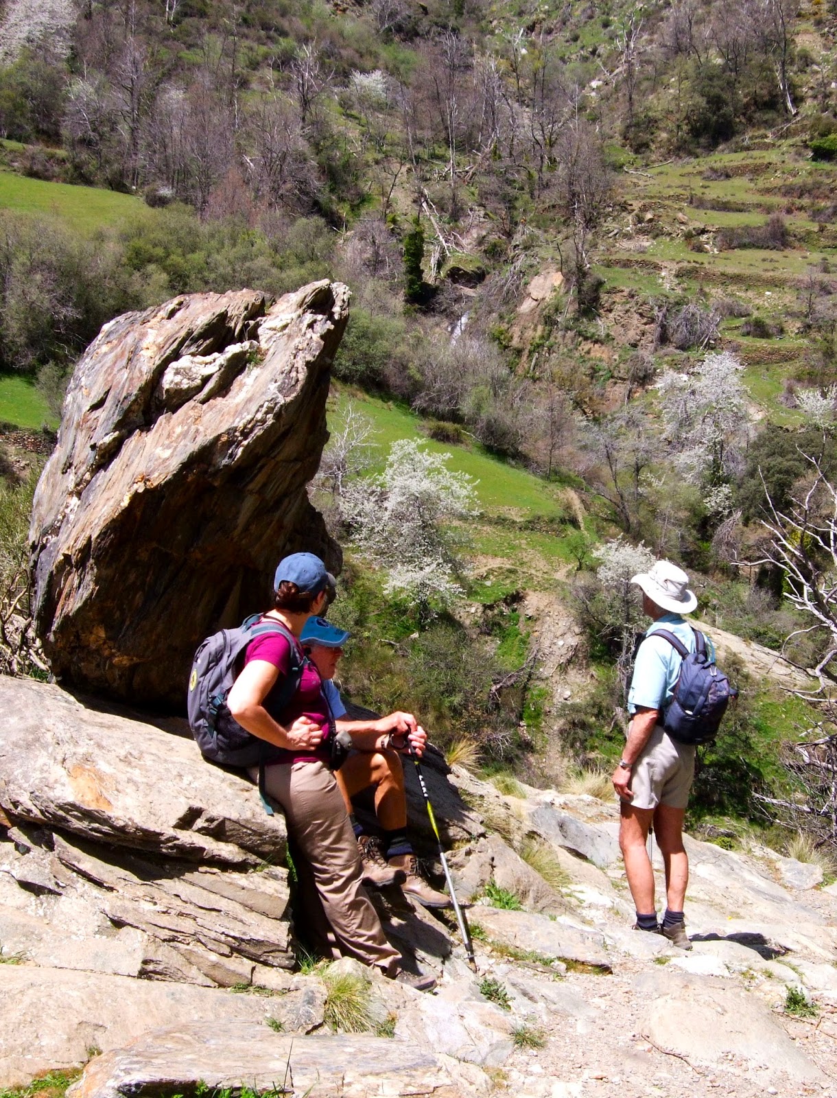
Walkers in the Alpujarra
Mondays - Hills and Terraces and Acequia's above Lanjaron, walking with a local landowner / guide who will explain the local landscape, farming and wildlife. 5 to 6 hours, a little strenuous.

Tuesdays - A circuit in the Taha walking a medieval path through old "arab" villages through terraces and a spectacular gorge crossing a Roman bridge. Not to mention the water fountain with naturally carbonated water! 5 to 6 hours walking, strenuous.

Wednesdays - An ascent of Trevenque 2079m, the Matterhorn of the Sierra Nevada. 5 hours walking, with one steep strenuous ascent / descent.

Thursdays - A circuit in the Rio Poqueira and the pretty white villages of Capileira, Pampaneira and Bubion.
5 to 6 hours of walking a little strenuous.


Fridays - Glimpses of Mulhacen!
A walk in the forrests above Capileira to Hoya del Portillo and Puerto Molina 2380m. 5 to 6 hours walking a little strenuous.

All of the guided walks are priced at 40 Euro's per person and are led by qualified British, International Mountain Leaders.


The Summer programme - of walks in the Sierra Nevada is aimed at tackling the higher peaks which will be a cool relief to the heat of summer.  These include ascents of Mulhacen 3482m the highest mountain in mainland Spain, Veleta 3396m,  Alcazaba 3364m and Caballo 3011, Europes most westerly 3000m peak.


Walkers at The Caldera Refuge, Sierra Nevada

The upper Rio Lanjaron near Caballo
Mondays - Mulhacen 3482m, the highest mountain in mainland Spain. Starting in Capileira and catching the National Park bus to 2700m, we ascend Mulhacen's south ridge to the summit. Our descent is down the west flank with glimpses of the impressive north faces of both Mulhacen and Alcazaba before reaching the Caldera Refuge, Rio Mulhacen and Poqueira Refuge. 8 hours of walking, 1100m of ascent, fairly strenuous.

Tuesdays - Veleta 3396m, the 2nd highest mountain in the Sierra Nevada. Starting from Hoya de la Mora at 2500m.  After the summit we visit the Carihuela Refuge and the Lagunas de la Virgin. 7 hours. A day mainly on good paths that is not too strenuous.

Wednesday - Alcazaba 3364m, the 3rd highest mountain in the Sierra Nevada and most remote of the big three. Starting in Capileira and catching the National Park bus to 2700m, we ascend Mulhacen's south ridge before traversing around to Siete Lagunas. We then make a circuit on Alcazaba descending through Siete Lagunas with its wonderful flowers before traversing back around Mulhacen to the start.  7 to 8 hours of walking with 900m of ascent, some steep and off path.  This is a strenuous day.

Thursdays - Caballo 3011m, Europe's most westerly 3000m peak. Not to be missed or underestimated. A route taking in not only the summit of this fine peak but our descent takes us to the Caballo Refuge and into the upper Rio Lanjaron. 8 hours of walking, 1100m of ascent, a strenuous day out.

Fridays - Mulhacen 3482m, a repeat on Monday's itinerary.

Like the Spring itinerary, all of the guided walks are priced at 40 Euro's per person and are led by qualified British, International Mountain Leaders.

Further details and how to book these walks are on the Sierra Nevada Guides website:
Spring Programme of walks in the Alpujarra

Summer programme of walks in the Sierra Nevada